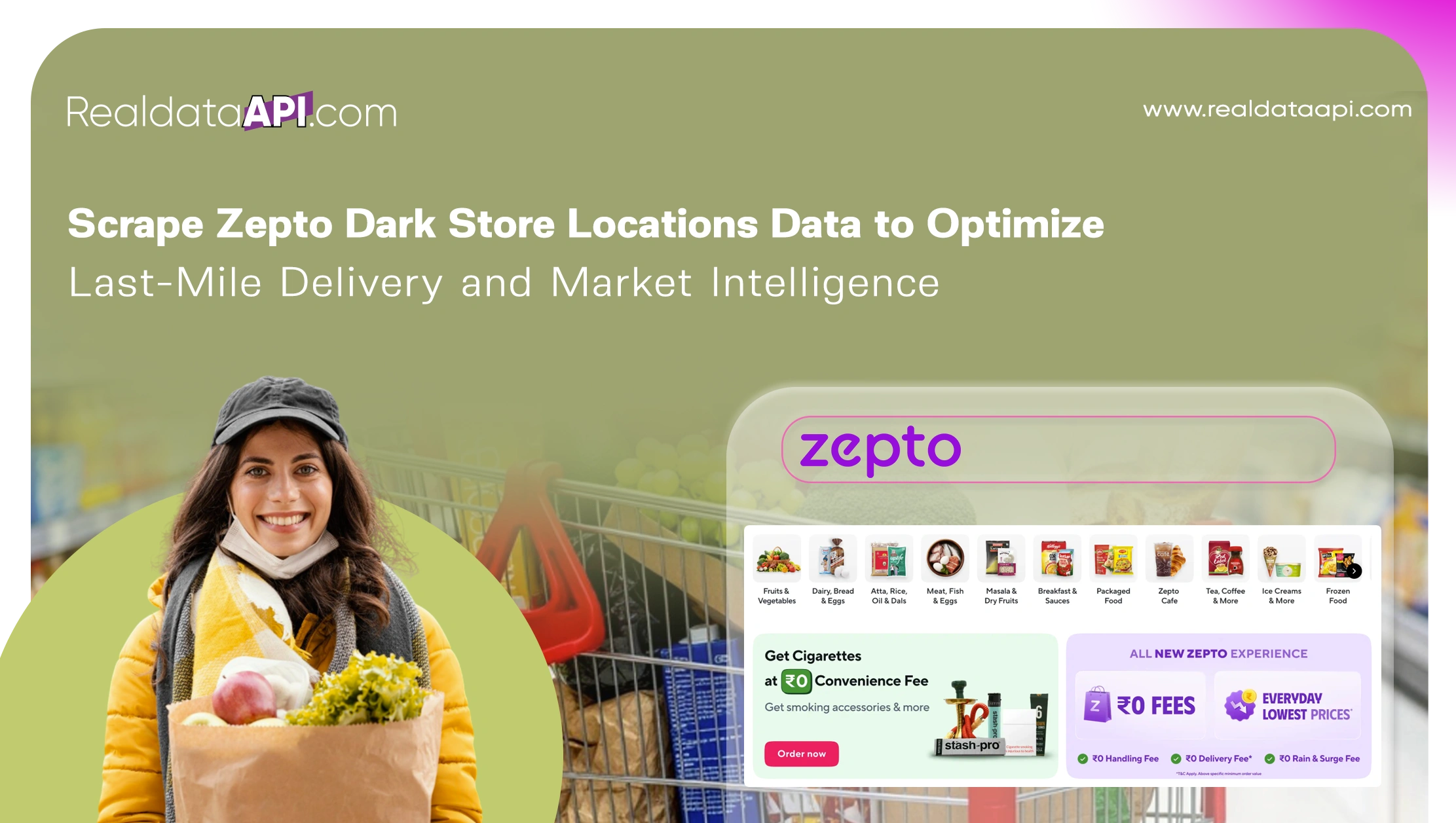
Introduction
India’s quick commerce ecosystem has experienced exponential growth since 2020, fueled by demand for ultra-fast grocery delivery and hyperlocal fulfillment models. At the center of this transformation are dark stores—strategically placed micro-warehouses that enable 10–20 minute delivery promises. Businesses seeking competitive advantage increasingly rely on the ability to Scrape Zepto dark store locations data to gain granular visibility into service zones, delivery radiuses, and infrastructure density.
Through the Zepto Grocery Scraping API, enterprises can extract structured location intelligence including store coordinates, serviceable PIN codes, operational clusters, and expansion patterns across metro and Tier-1 cities. This blog explores data-driven trends from 2020 to 2026 and demonstrates how location intelligence supports last-mile optimization, competitive benchmarking, route efficiency modeling, and expansion planning.
By transforming unstructured store listings into structured analytics-ready datasets, companies unlock powerful insights into coverage gaps, micro-market penetration, and operational scalability—key drivers of success in India’s high-speed grocery delivery market.
Hyperlocal Infrastructure Growth Trends
Understanding Zepto store location data provides critical insight into infrastructure density and urban penetration. Dark store growth has accelerated rapidly, driven by investor capital and rising urban order volumes.
Between 2020 and 2026, the expansion trajectory highlights how quick commerce networks evolved across India’s largest cities.
| Year | Active Dark Stores | Cities Covered | Avg. Delivery Radius (km) |
|---|---|---|---|
| 2020 | 45 | 2 | 3.5 |
| 2021 | 120 | 5 | 3.2 |
| 2022 | 250 | 8 | 3.0 |
| 2023 | 420 | 10 | 2.8 |
| 2024 | 650 | 14 | 2.5 |
| 2025* | 900 | 18 | 2.3 |
| 2026* | 1,200 | 22 | 2.0 |
Key insights include:
- Increased store density in metro clusters
- Reduced delivery radiuses for faster fulfillment
- Tier-2 city onboarding acceleration
- Micro-zone segmentation strategies
- Infrastructure saturation mapping
Structured location data enables businesses to evaluate coverage overlaps and identify underserved neighborhoods for expansion.
Competitive Landscape and Coverage Analytics
Location visibility is a cornerstone of modern intelligence scraping strategies. Hyperlocal mapping allows enterprises to compare infrastructure footprints across competing quick commerce players and measure geographic saturation levels.
Infrastructure growth from 2020–2026 reflects aggressive competitive scaling.
| Year | Avg. Stores per Metro | Coverage Overlap % | New PIN Codes Added |
|---|---|---|---|
| 2020 | 15 | 8% | 300 |
| 2021 | 35 | 14% | 900 |
| 2022 | 60 | 22% | 1,800 |
| 2023 | 90 | 30% | 3,200 |
| 2024 | 120 | 37% | 4,800 |
| 2025* | 150 | 44% | 6,500 |
| 2026* | 180 | 50% | 8,200 |
Key benefits of competitive coverage analytics:
- Identify oversaturated zones
- Detect infrastructure white spaces
- Evaluate micro-market dominance
- Assess fulfillment time variance
- Benchmark infrastructure intensity
Location-driven intelligence provides actionable insights for investors, logistics planners, and retail strategists.
Micro-Fulfillment Network Intelligence
The ability to extract Zepto micro fulfillment center locations data enables businesses to analyze distribution cluster logic and infrastructure scaling efficiency. Micro-fulfillment centers are optimized for rapid picking, packing, and dispatch, making geographic placement critical.
Network scaling trends between 2020 and 2026 demonstrate improved urban coverage density.
| Year | Avg. Orders per Store (Daily) | Store-to-Store Distance (km) | Avg. Fulfillment Time (mins) |
|---|---|---|---|
| 2020 | 450 | 6.0 | 28 |
| 2021 | 600 | 5.2 | 24 |
| 2022 | 850 | 4.5 | 20 |
| 2023 | 1,100 | 3.8 | 17 |
| 2024 | 1,400 | 3.2 | 15 |
| 2025* | 1,700 | 2.8 | 13 |
| 2026* | 2,000 | 2.4 | 11 |
Strategic insights include:
- Reduced inter-store distances
- Increased order density per zone
- Enhanced micro-cluster efficiency
- Faster dispatch times
- Improved operational scalability
These insights support predictive demand modeling and real estate investment decisions.
Geo-Mapping and Urban Penetration Strategy
A structured Zepto store mapping dataset provides GIS-ready intelligence for route optimization and hyperlocal planning. Mapping datasets integrate latitude-longitude coordinates with serviceable areas and PIN code coverage.
Expansion analytics from 2020–2026 reveal changing geographic patterns.
| Year | Metro Coverage % | Tier-2 Coverage % | Avg. Delivery Time (mins) |
|---|---|---|---|
| 2020 | 12% | 2% | 30 |
| 2021 | 18% | 5% | 26 |
| 2022 | 25% | 9% | 21 |
| 2023 | 33% | 14% | 18 |
| 2024 | 42% | 20% | 15 |
| 2025* | 50% | 28% | 13 |
| 2026* | 60% | 36% | 11 |
Geo-mapping enables:
- Heatmap-based expansion planning
- Delivery-time optimization modeling
- Last-mile route simulation
- Population-density correlation
- Micro-market profitability estimation
Location-based intelligence directly improves last-mile efficiency and operational decision-making.
Delivery Hub Optimization Insights
Leveraging a Zepto delivery hub locations data scraper provides structured data on dispatch hubs and operational clusters. Hub proximity influences delivery batching, rider allocation, and traffic-based routing logic.
Operational trends between 2020 and 2026 demonstrate increased network sophistication.
| Year | Delivery Hubs | Avg. Riders per Hub | Orders per Rider/Day |
|---|---|---|---|
| 2020 | 30 | 25 | 18 |
| 2021 | 75 | 32 | 22 |
| 2022 | 150 | 40 | 28 |
| 2023 | 280 | 48 | 34 |
| 2024 | 420 | 55 | 39 |
| 2025* | 600 | 63 | 45 |
| 2026* | 820 | 70 | 52 |
Data insights include:
- Rider density optimization
- Hub clustering efficiency
- Batch-order routing gains
- Traffic-based zone adjustments
- Cost-per-delivery modeling
Delivery hub intelligence strengthens operational forecasting and infrastructure ROI planning.
Automation and Scalable Location Intelligence
Automation ensures continuous updates across fast-moving urban markets. A dedicated Zepto Scraper enables large-scale extraction of store listings, coordinates, service areas, and expansion changes in near real time.
Automation scaling trends from 2020–2026 show increasing refresh frequency and dataset expansion.
| Year | Locations Tracked | Refresh Cycle (Hours) |
|---|---|---|
| 2020 | 45 | 24 |
| 2021 | 120 | 18 |
| 2022 | 250 | 12 |
| 2023 | 420 | 8 |
| 2024 | 650 | 6 |
| 2025* | 900 | 4 |
| 2026* | 1,200 | 2 |
Automation benefits include:
- Real-time expansion alerts
- Service-zone update tracking
- Infrastructure change detection
- Data-driven logistics modeling
- Competitive footprint benchmarking
Scalable scraping ensures businesses remain agile in a rapidly evolving quick commerce landscape.
Why Choose Real Data API?
Real Data API delivers enterprise-grade Web Scraping Zepto Dataset solutions designed for scalable hyperlocal intelligence. Our infrastructure enables businesses to Scrape Zepto dark store locations data with precision, reliability, and structured outputs ready for analytics platforms.
Key advantages include:
- API-based structured data delivery
- GIS-compatible location formats
- Custom refresh frequency
- High-accuracy parsing engines
- Scalable cloud architecture
We empower logistics providers, retail strategists, investors, and analytics firms with actionable infrastructure insights that drive measurable improvements in last-mile performance.
Conclusion
Hyperlocal infrastructure intelligence is the foundation of quick commerce success. The ability to Scrape Zepto dark store locations data enables enterprises to map coverage zones, optimize last-mile delivery routes, benchmark infrastructure density, and forecast expansion opportunities with confidence.
By integrating structured location datasets into predictive logistics models, businesses gain real-time operational visibility and strategic agility. Leveraging a powerful Grocery Data Scraping API ensures scalable automation and continuous intelligence extraction across dynamic urban markets.
Partner with Real Data API today to Scrape Zepto dark store locations data and transform your last-mile delivery strategy with data-driven precision!
Latest posts
Web Scraping Competitor Product Monitoring Using Marketplace Data for Real-Time E-commerce Insights and Business Growth?
How to Scrape Product Intelligence Platform Using Marketplace Data to Help Brands Optimize Pricing, Inventory, and Product Strategy?
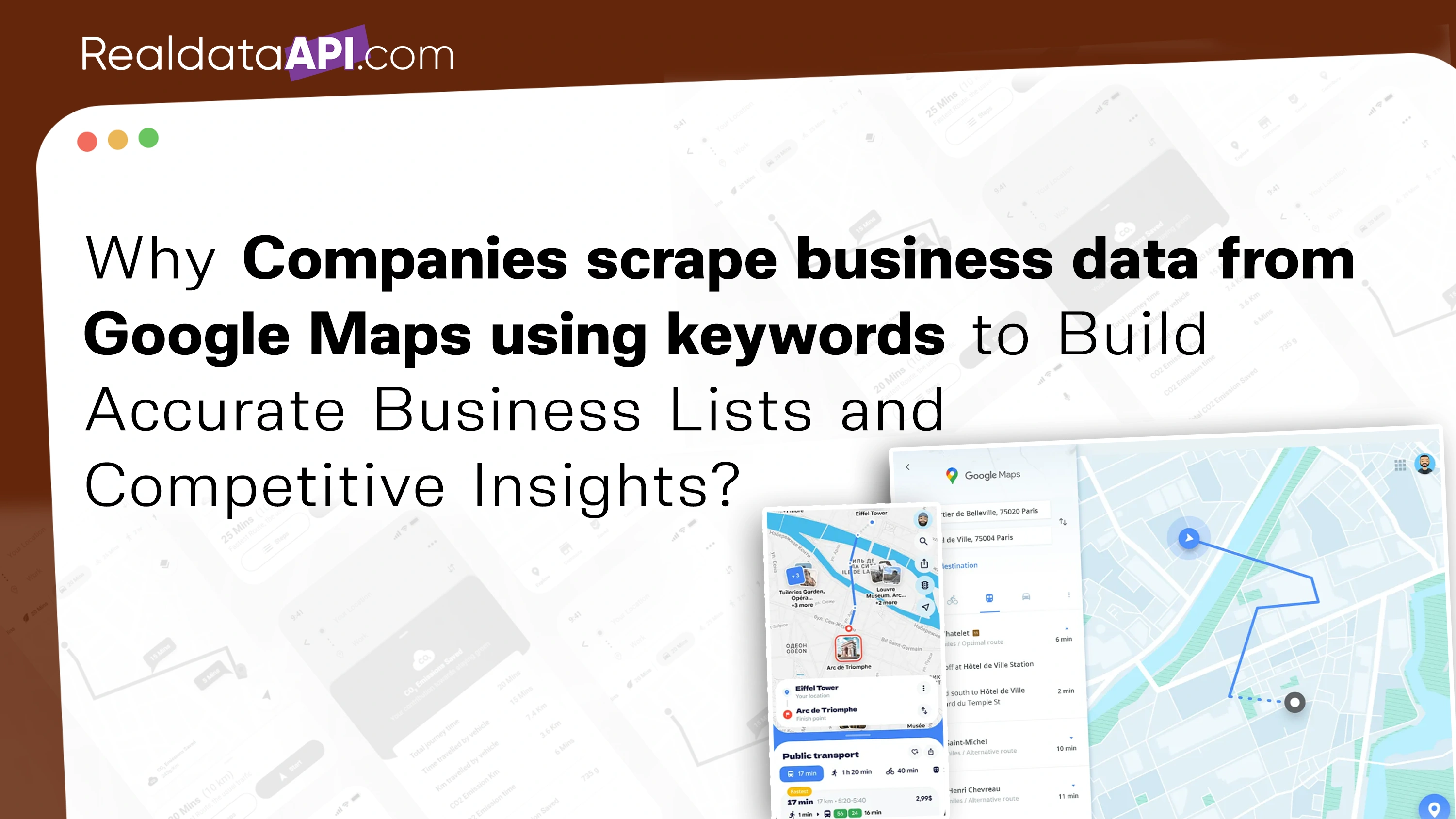
Why Companies scrape business data from Google Maps using keywords to Build Accurate Business Lists and Competitive Insights?
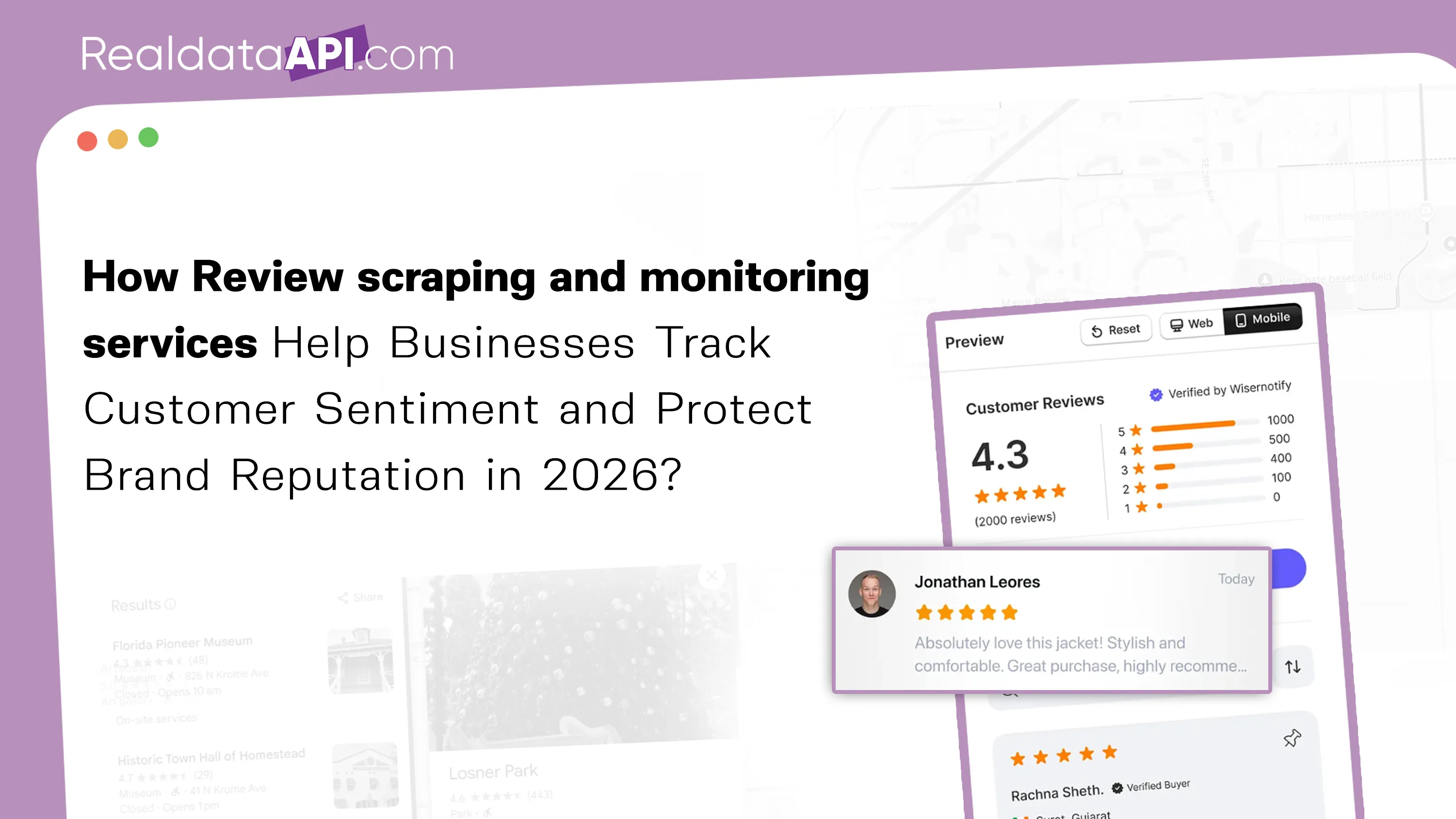
How Review scraping and monitoring services Help Businesses Track Customer Sentiment and Protect Brand Reputation in 2026?
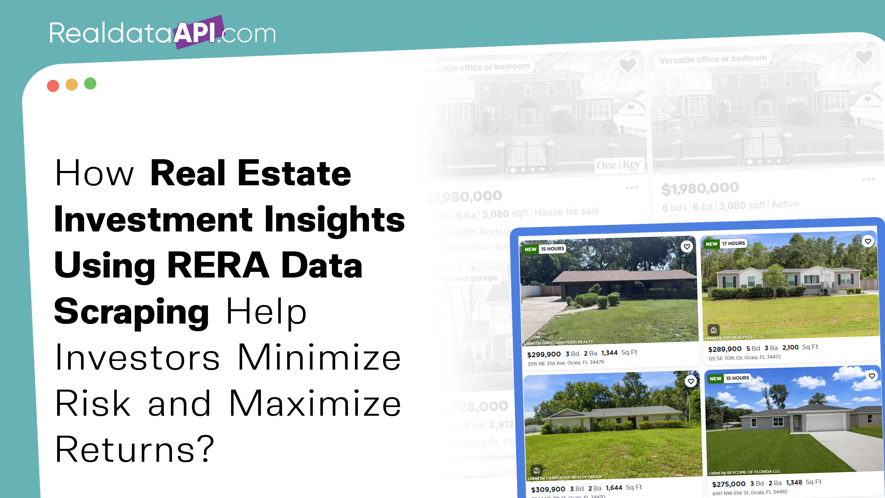
How Real Estate Investment Insights Using RERA Data Scraping Help Investors Minimize Risk and Maximize Returns
Real Data API stands out as one of the premier global companies specializing in web data Scraping and web extraction.


Rating 4.7
Rating 4.7
Rating 4.5
Rating 4.7
Rating 4.7


Disclaimer : RealData API functions solely as an independent data infrastructure and technology solutions provider. We build customized automation workflows designed to collect publicly accessible web data based exclusively on client instructions. RealData API neither owns proprietary datasets nor engages in the sale or redistribution of extracted information. Our operations are limited strictly to lawful public web data processing and never involve unauthorized access to restricted systems or private networks. Any company names, trademarks, logos, or brand references displayed on this website are used purely for demonstrative and illustrative purposes to showcase our technical capabilities and do not imply endorsement, partnership, or affiliation. Use of our platform and services remains subject to our Terms of Service.